A question we frequently hear is:
“What can you do that your competitors can’t?”
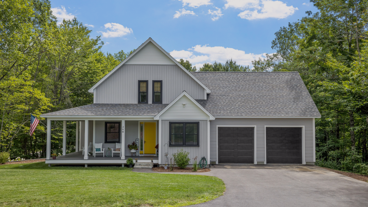
By competitors, our customers are generally referring to companies that use aerial imagery rather than ground level photos to provide measurements of properties. In many cases, the answer is clear after learning about some of the more advanced features that HOVER provides in addition to measurements. But, in regards to the debate over how accurate ‘ground-level vs. aerial’ can be in image-based 3D reconstruction, this article can help clarify the four biggest differences between the two solutions.
Image Detail
Aerial imagery relies on lower resolution photos taken from further away than those of a smartphone, which are taken from an average distance of 88 feet according to HOVER’s internal data. This translates into:
6″ gutter occupying 26 pixels in a ground level image
VS.
2 pixels in a typical aerial image.
The accuracy of any 3D point reconstructed using a camera depends on the distance between the camera and the object. The area covered by a pixel grows quadratically with distance, meaning that increasing the distance 10 times would require 100 times more pixels to cover the same physical space (which means you would need 100 times greater resolution to take the photo from 10 times farther away). You might be wondering:
“What can go wrong in my estimate when something is off by a few pixels?”
The answer is that it can result in an inaccurate measurement where you are off by 6” on either side of a line segment, complicating your estimates, purchasing, and customer expectations. A pixel in a photo taken by HOVER, on the other hand, represents 0.24″ x 0.24″ proving on average to be 25x more accurate and available to serve the contractors who don’t want to worry about these issues.
Blocked Views
Simply put, aerial imagery does not work for properties with overgrown trees and vegetation. While this is a widely known drawback, fewer organizations realize this issue for side-view imagery. Aerial imagery is taken at a 45-degree angle from vertical for elevations and depth, but it only works when these views are not blocked by neighboring houses, trees, or terrain.

Some home improvements cannot be detected from aerial photos at all. For example, soffit and overhang measurements such as frieze board.
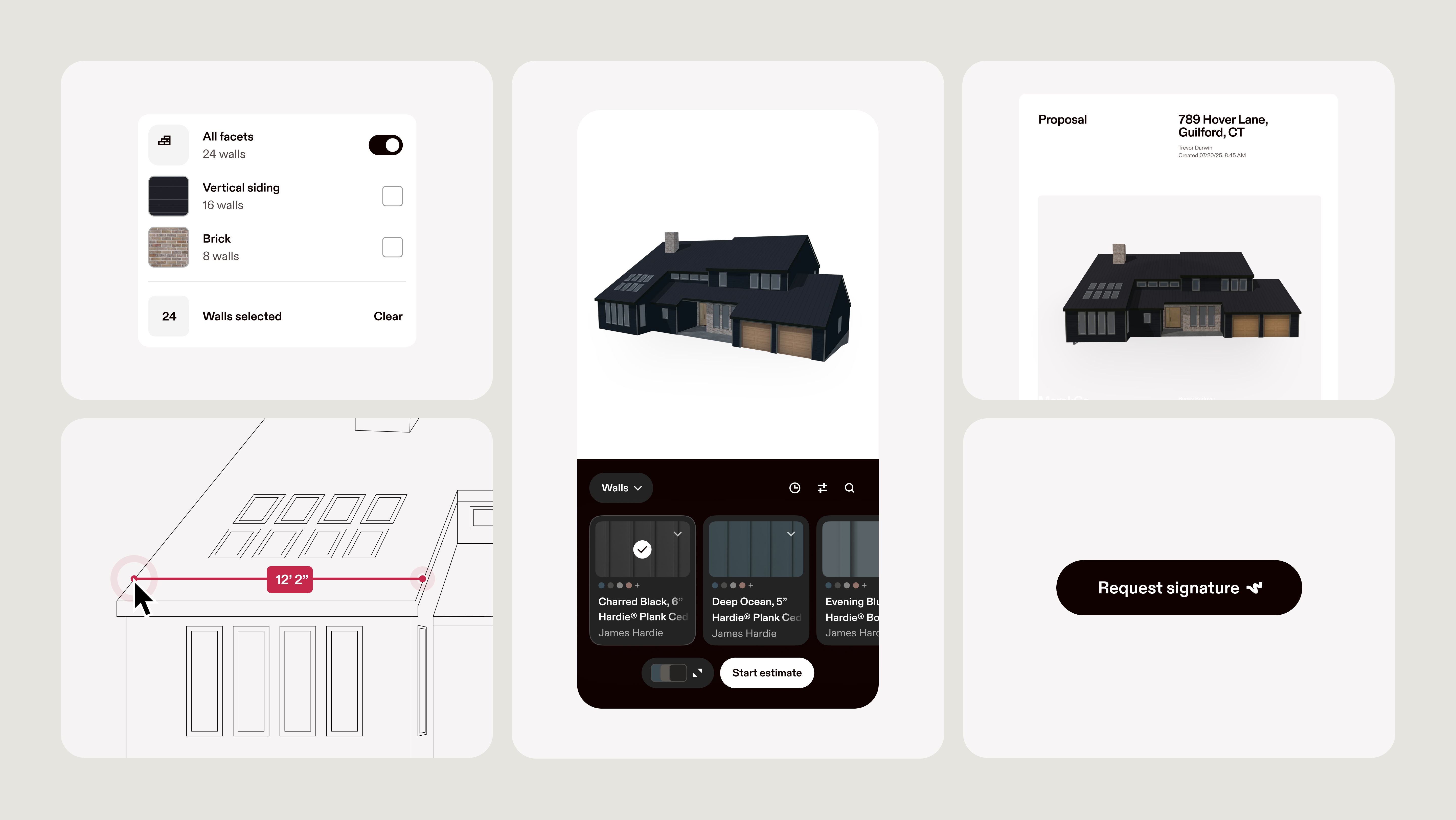
HOVER uses data available across multiple photos, so we can easily exclude obstructions using our custom-built textures.
Up-to-date Imagery
In a perfect world, aerial imagery would be updated at least once a year. Unfortunately, it is difficult and expensive to re-fly and process aerial imagery, so it does not happen very often. You’re also limited by flight schedules and the amount of area that can be photographed in a single day. To solve this, flights are often timed to periods in the spring or fall when there are fewer leaves on trees and therefore less obstructed views of properties. However, the problem still exists for areas that have consistent cloud coverage like Seattle, Washington or Ithaca, New York. These limitations, coupled with the high cost of flying planes often results in the use of outdated aerial imagery that is unreliable for accurate measurements.
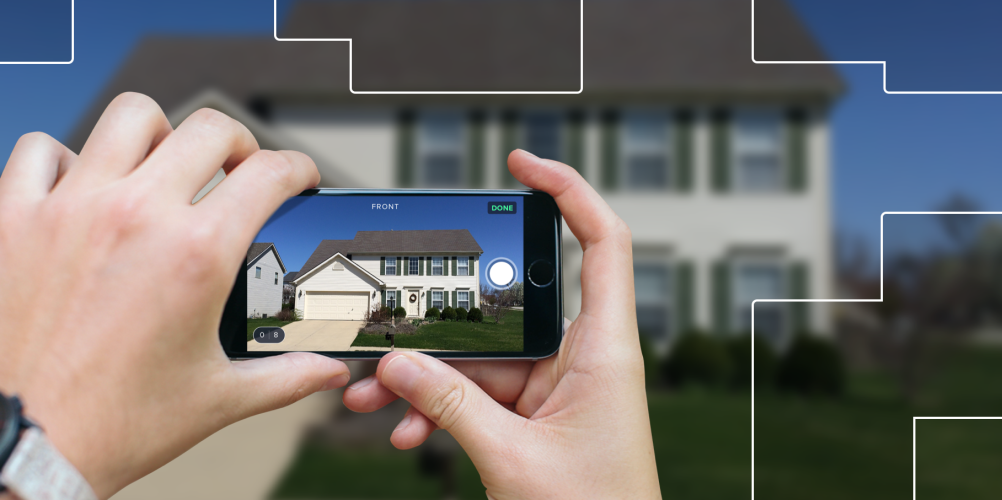
Ground level photography is taken onsite at the beginning of each project, meaning you don’t have to wait for an updated photo if there have been changes to the property since the last fly by. This is especially useful for time sensitive cases like damage assessments.
Fewer Applications
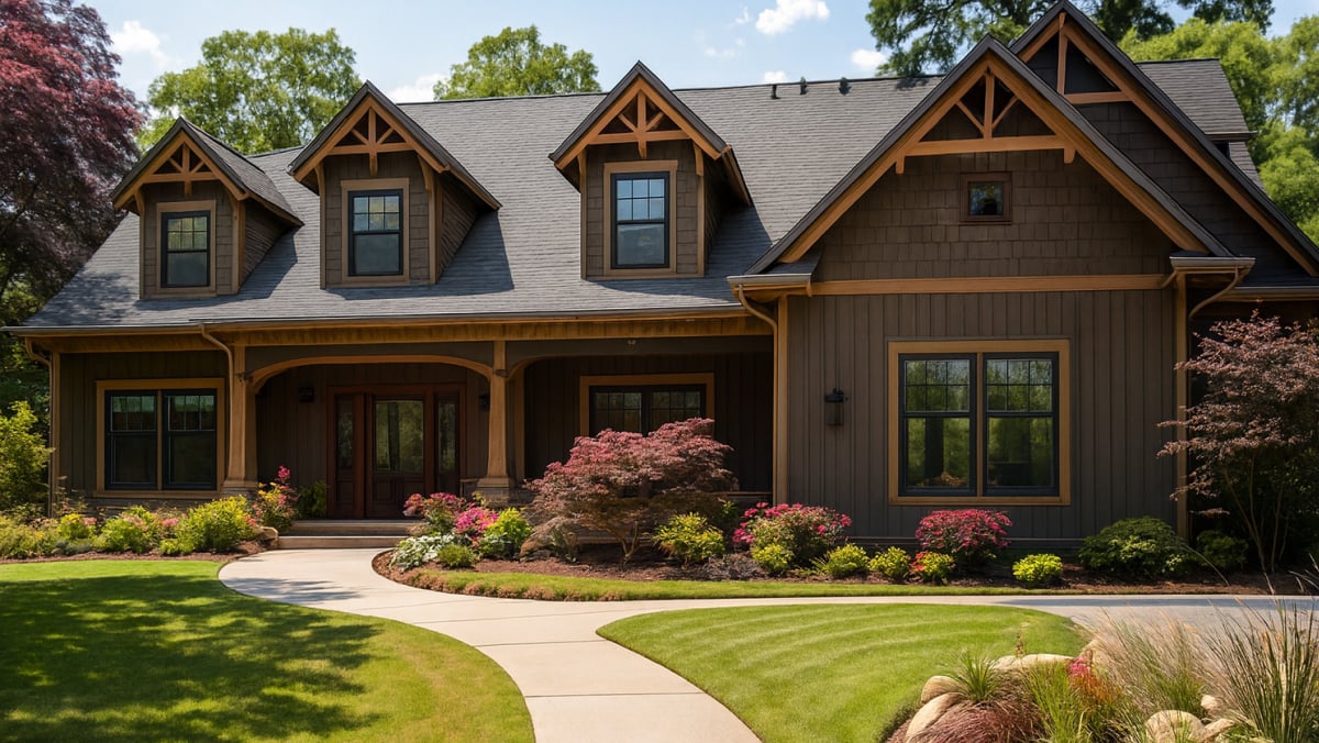
Aerial imagery has been used by roofing contractors for years but hasn’t been used by other exterior contractors because there is insufficient detail on siding, doors, and window treatments, such as the size of a window sill, shutters, and vents. If you are in this market or would like to expand into this market, you’ll need more detailed ground-level image capture to stay competitive.
The ground-level imagery solution provided by HOVER has been adopted by thousands of contractors to capture more accurate detail with less limitations and is quickly becoming the next big technological evolution in the home improvement industry.
If you’d like to give it a try, feel free to sign up here. We’ll give you your first property for free!